The original plan for the weekend had been for a Saturday paddle round an island from Cuan Sound, either Luing or Seil, then split into two groups for Sunday. One to paddle in Loch Etive from Taynuilt, which could be the get-out for the other group paddling the flood tide at the Falls of Lora, thus making shuttles simpler.
As happens so often with kayaking, the weather changed our plans. This time good weather was the culprit, making a trip out to the Garvellachs possible. We all quickly agreed this was an excellent idea and those of us in the Falls of Lora group for Sunday scrapped our printed maps of Seil & Luing.
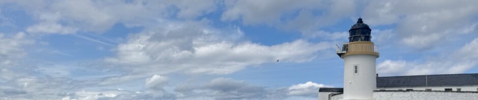
Saturday morning dawned calm, bright & sunny, and launching from our campsite at Kayakers Cove gave us plenty of time to be ready for OTW at 10. Sarah & Ken led 11 of us, June, Miranda, Lindsay, Catherine, Mark, Steve, David, Peter & me across Cuan Sound and out to Flodda, where we only paused for pictures by the lighthouse and a brief chat with two kayakers on the shore.
Paddling on past the weird-shaped island of Belnahua with great views over a glassy sea to Lunga, Scarba and Jura on our left, Colonsay straight ahead and the south coast of Mull, with Ben More in the background on our right, this did not feel like an open crossing. The paddling was gentle with plenty of chat, while Dun Chonnuill, the small island at the north end of the Garvellachs 4km away, did not seem to be getting any closer, but the porpoises playing around ~35m distant from us added to the spectacular day we were enjoying. About an hour after leaving Flodda we arrived to be confused by a shape on top of the highest point of the island. Was it a rock or a bird? If so, what bird? As we rounded the headland it moved it’s head, so not a rock. After discussion, we agreed with Sarah that it was most likely a young sea eagle, completely unbothered by us ~60m below.
The west side of the island provided some opportunities for playing in rock gardens and exploring gullies or simply chatting a little further offshore. Lunch was round the headland where a small shingle beach at the SW end of the largest island, Eileach an Naomimh was marked by a yacht anchored in the bay. After eating, we walked up a small path past St Columba’s Well and spent nearly an hour exploring the ruins of St Brendans Monastery, founded in AD545 a little before St Columba’s monastery on Iona.
Back on the water, we headed along the east coast of the islands, now with views back to Luing, Seil and the Argyll coast. A short stop on Belnahua gave us a chance to explore the hollow looking Toblerone-shaped hill that we had observed on the way out and the long abandoned slate quarries that gave this group of islands their name. The ‘Toblerone’ is most likely an ancient sea cave now standing on a raised beach ~7m above the current sea level. On the return leg we had the distraction of a ‘smack’ of large barrel jellyfish to study. The final kilometres back to Kayakers Cove felt the longest of the whole 30km day, and what great day it was.
Amanda Grant